Foxtech Provides Industrial Drone Solutions & UAV Payload Systems.
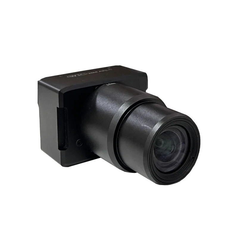
Mapping Camera 26MP APS-C Sensor 140g Lightweight Map-03
Key Features:
26MP Sony APS-C Inner Sensor for crisp, detailed images
Lightweight (140g), compact, and drone-friendly
Built-in GPS geo-tagging in EXIF
Hot shoe and low-level trigger support
Supports TF card storage
Fixed lens options: 16mm / 25mm / 35mm
The Foxtech Map-03 is a professional-grade mapping camera tailored for aerial surveying, photogrammetry, and inspection tasks. Weighing just 140g, the Map-03 stands out for its ultra-lightweight design and compact size, making it easy to integrate into various UAV platforms such as multirotor drones, VTOL aircraft, and fixed-wing systems. Whether deployed on Hover 3 Quadcopter, Loong 170, Swan 840, or AYK-250, this camera enhances aerial mapping efficiency without adding unnecessary payload weight.
Built with a 26MP Sony APS-C inner sensor, the Map-03 delivers high-resolution imaging performance suitable for generating orthophoto maps and digital models. It supports low-level trigger and hot shoe sync, ensuring seamless operation with UAV flight controllers. Additionally, the camera embeds geo-tags into the EXIF metadata of every captured image, greatly simplifying post-processing and map alignment.
Map-03 offers lens options of 16mm, 25mm, and 35mm to suit different mapping needs, though the lens is fixed per model. The robust design, stable data output, and TF card storage support add value for field professionals requiring reliable, high-precision imaging equipment. From urban planning and environmental monitoring to agricultural analysis, Map-03 meets the high standards of aerial data collection workflows.
Your Purchase Includes:
1x Foxtech Map-03 Mapping Camera 16 mm Lens
Your Purchase Includes:
1x Foxtech Map-03 Mapping Camera 25 mm Lens
Your Purchase Includes:
1x Foxtech Map-03 Mapping Camera 35 mm Lens


